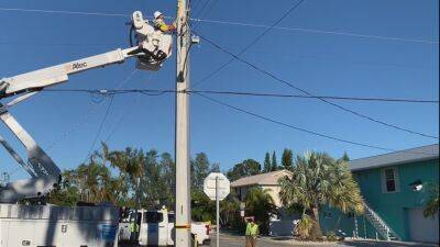
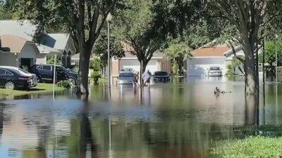
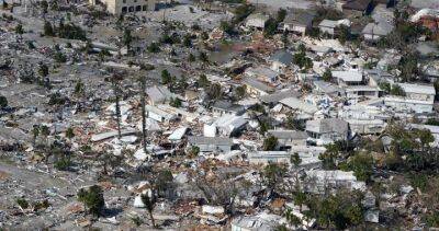
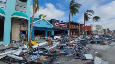
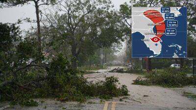
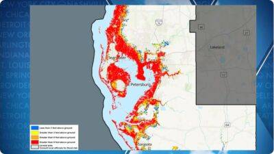
NOAA maps show street-by-street views of Hurricane Ian's destruction
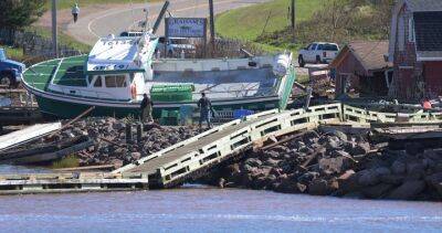
Thursday's view of a marina in downtown Fort Myers, contrasted with a photo from before Hurricane Ian. (NOAA) We’ve already seen the frightening scenes that Hurricane Ian brought to southwest Florida, but the full extent of the storm’s impact is becoming more detailed now that the federal government is publishing aerial photos taken during recent survey flights.
Imagery posted on an interactive map was taken by NOAA’s Remote Sensing Division "to support homeland security and emergency response needs" after the storm.
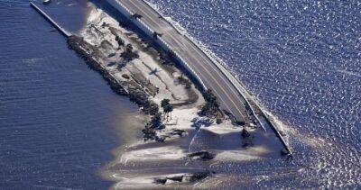
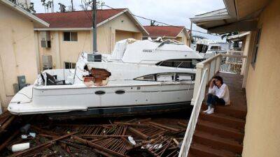
The photos – taken during long sweeps by the agency's Hawker Beechcraft King Air 350CER plane starting on Thursday – cover a 50-mile swath from Cayo Costa, where the storm’s eye made landfall, down to Sanibel and then up the Caloosahatchee River to Fort Myers.A second 15-mile stretch covers the coast west of Cape Coral.LINK: See NOAA's damage mapAFTER: The Sanibel Causeway (NOAA) One of the most obvious features visible in the photos is the destruction of the Sanibel Causeway.
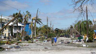
Two sections of the span are entirely gone, but the imagery also shows just much sand and debris is covering what remains of the causeway.Further west, many resorts and homes along Captiva Island appear to be inundated with sand and water, while some boats can be seen up along the shore.AFTER: Middle Gulf Drive beach in Sanibel. (NOAA) Photos show the Sanibel Lighthouse is still standing, though it’s not yet clear if it was damaged.Up the Caloosahatchee, damage to Fort Myers is clear.


United States
|
Cases: 46 252 513
Deaths: 750 423
Recovered: 0
|

India
|
Cases: 34 321 025
Deaths: 459 652
Recovered: 0
|

Brazil
|
Cases: 21 835 785
Deaths: 608 235
Recovered: 0
|

United Kingdom
|
Cases: 9 215 683
Deaths: 141 607
Recovered: 0
|

Russia
|
Cases: 8 494 589
Deaths: 237 619
Recovered: 0
|